Complete Mexico Guide
Mexico is 1.9 million km² between the Pacific and the Caribbean, with two mountain ranges (the Sierra Madre Occidental and Oriental) framing a high central plateau perched between 1,800 and 2,400 meters. Mexico City, where our agency is based, sprawls at 2,240 meters altitude at the foot of the Popocatépetl and Iztaccíhuatl volcanoes. This vertical geography explains everything: in just a few hours you can go from the pine forests of Chiapas to the turquoise lagoons of the Yucatán Peninsula, or from the canyons of the north to the black beaches of Oaxaca.
Four regions structure most of the itineraries we design: the colonial center (Mexico City, Puebla, Guanajuato, San Miguel de Allende), the indigenous south (Oaxaca and Chiapas, where Nahuatl, Zapotec and Tzotzil are still spoken daily), the Yucatán Peninsula with its Mayan cities (Chichén Itzá, Uxmal, Calakmul) and its freshwater cenotes, and the Pacific coast between Puerto Escondido and Baja California. Each has its own cuisine, climate, and rhythm.
Two things often surprise our travelers: the archaeological depth (3,000 years of Olmec, Zapotec, Maya, and Aztec civilizations) and the culinary diversity recognized by UNESCO, where Oaxaca mole is nothing like the cochinita pibil of the Yucatán. For a first trip, we recommend combining two regions over 15 days rather than trying to see everything.
The regions of Mexico
Each region has its own personality: climate, landscapes, pace of life and ways of traveling. Our local team helps you choose the combination that suits you.
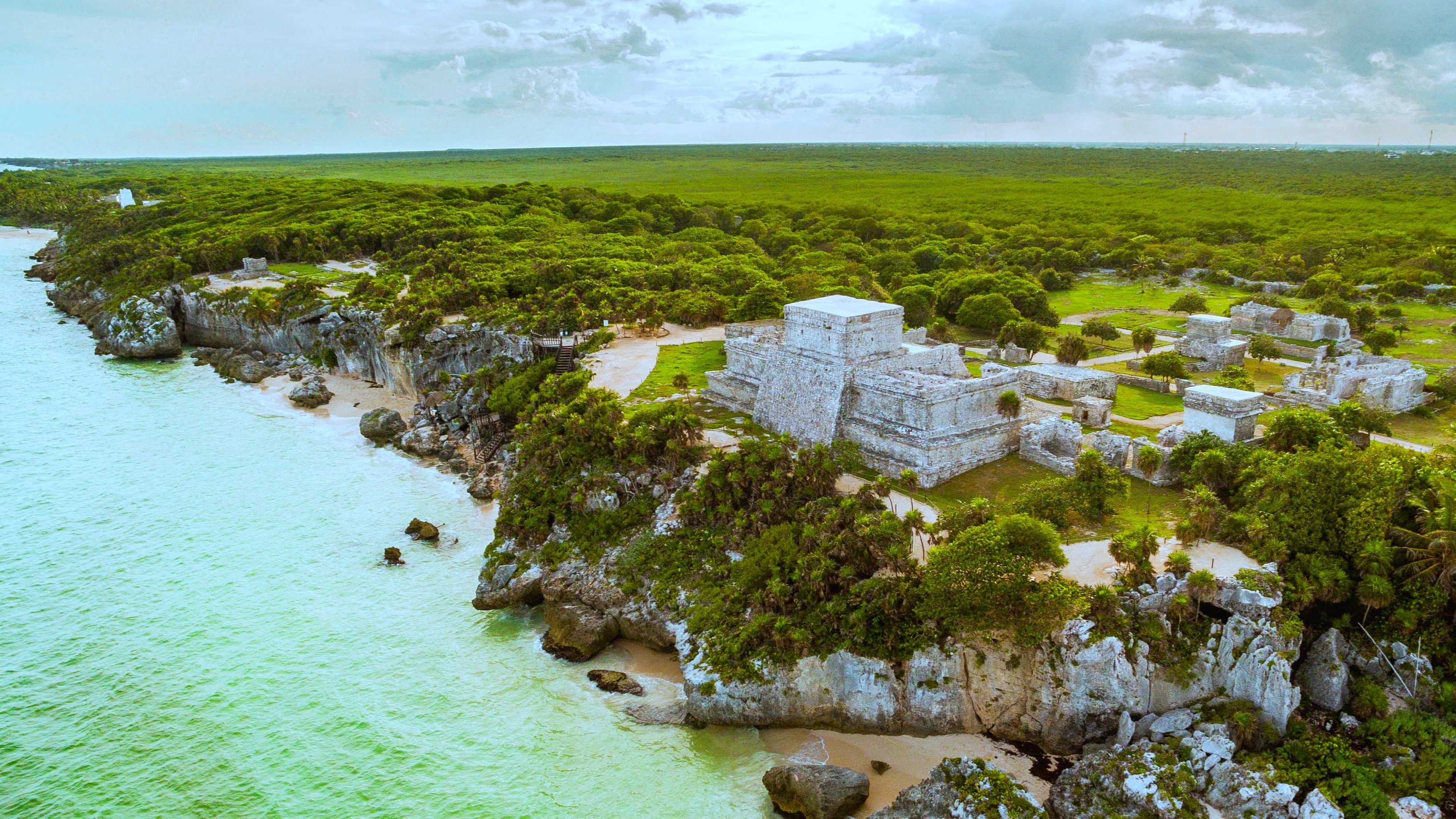
Yucatán and the Caribbean
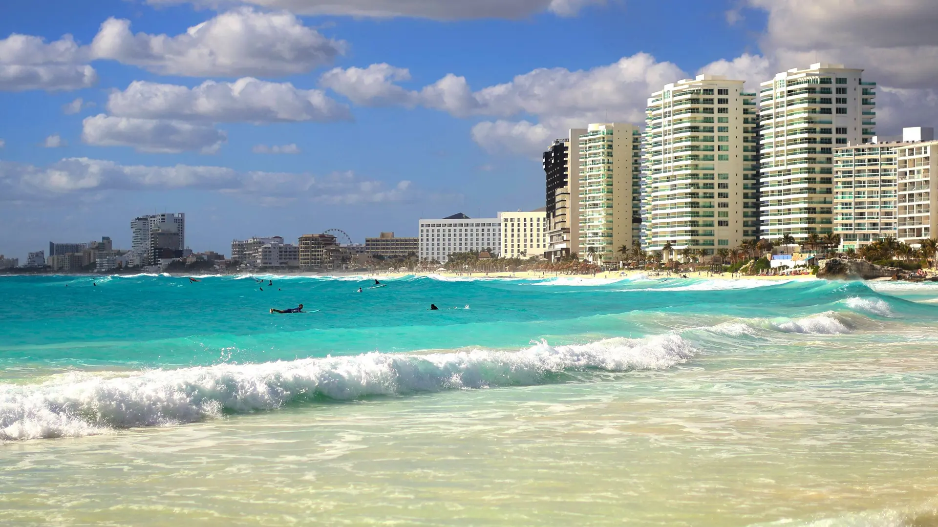
The Yucatán peninsula stretches flat on a limestone bedrock riddled with cenotes, these freshwater wells where the Maya saw the entrance to the underworld. Mérida, the cultural capital, maintains a tranquil pace with its colorful colonial houses and Lucas de Gálvez market. Further east, the archaeological sites of Chichén Itzá, Uxmal and Ek Balam reveal classical Maya architecture. On the Caribbean side, Tulum and the Riviera Maya offer white sand beaches and the world's second largest coral reef. Warm and humid climate year-round (26 to 32°C), rainy season from June to October, cyclone risk in September. We recommend December to April for diving in Cozumel or Holbox.
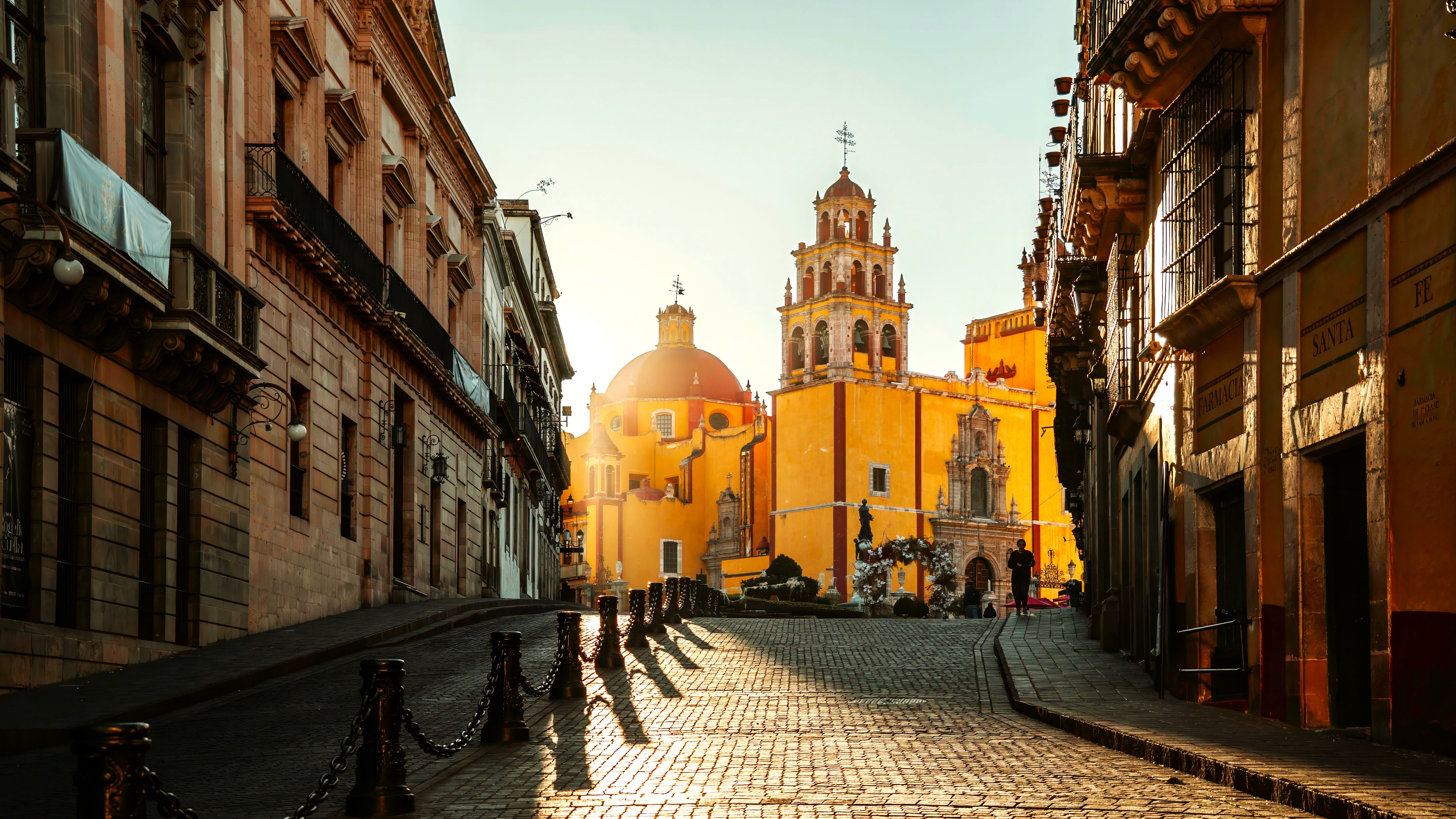
Colonial Center
The central highland concentrates UNESCO-listed colonial cities: Guanajuato with its underground streets, San Miguel de Allende with its pink facades, Puebla with its 365 baroque churches, Querétaro and its 18th-century aqueduct. Mexico, a megacity of 22 million inhabitants, deserves three to four days for its historic center, the Museum of Anthropology and Teotihuacán 50 km to the north. Altitude ranges from 1,800 to 2,400 meters, maintaining pleasant temperatures (15 to 25°C) year-round. October to May remain dry, June to September bring afternoon rains. This is the ideal region to understand the Spanish and indigenous blend that shapes contemporary Mexico.
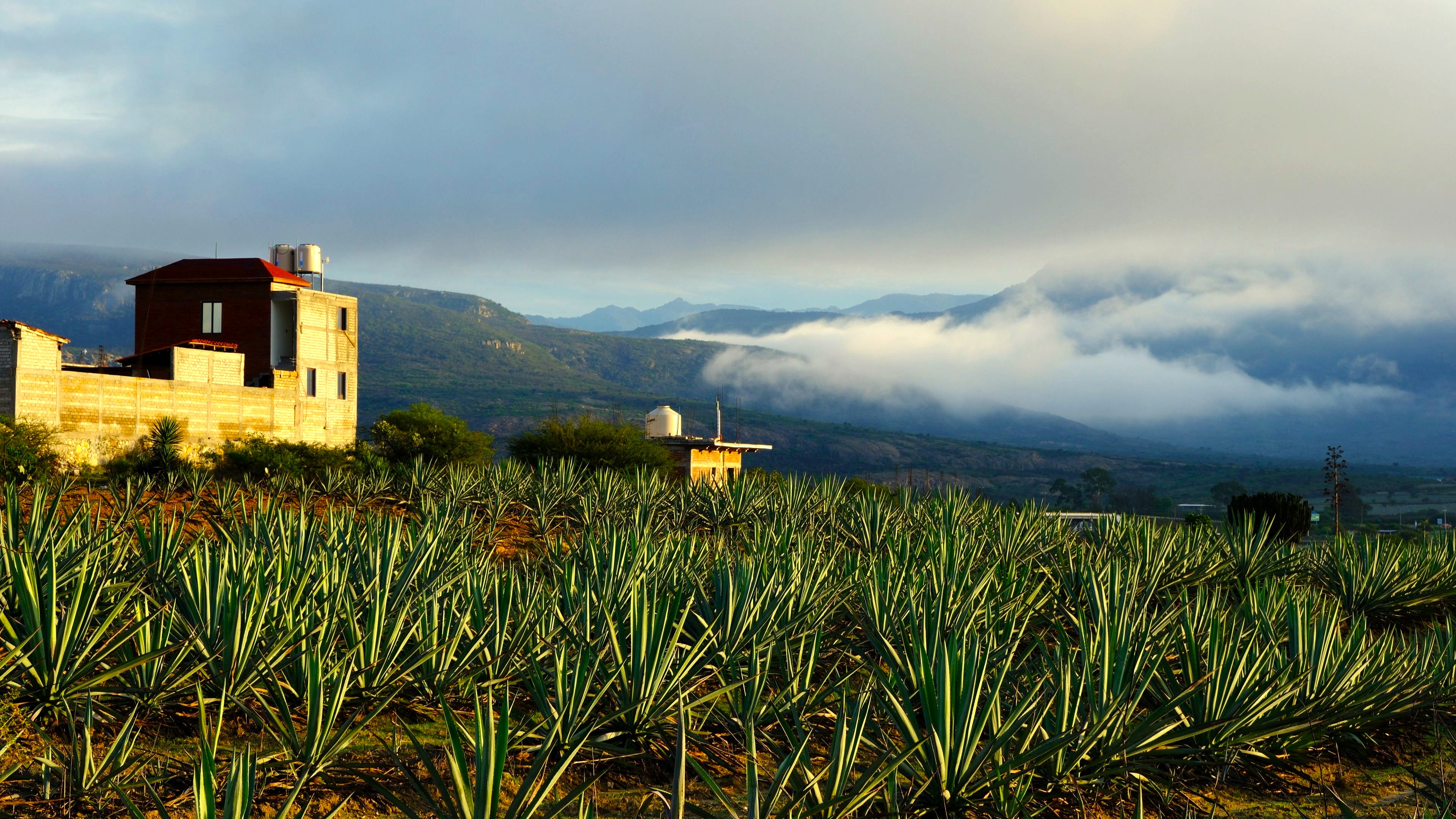
Oaxaca and indigenous South
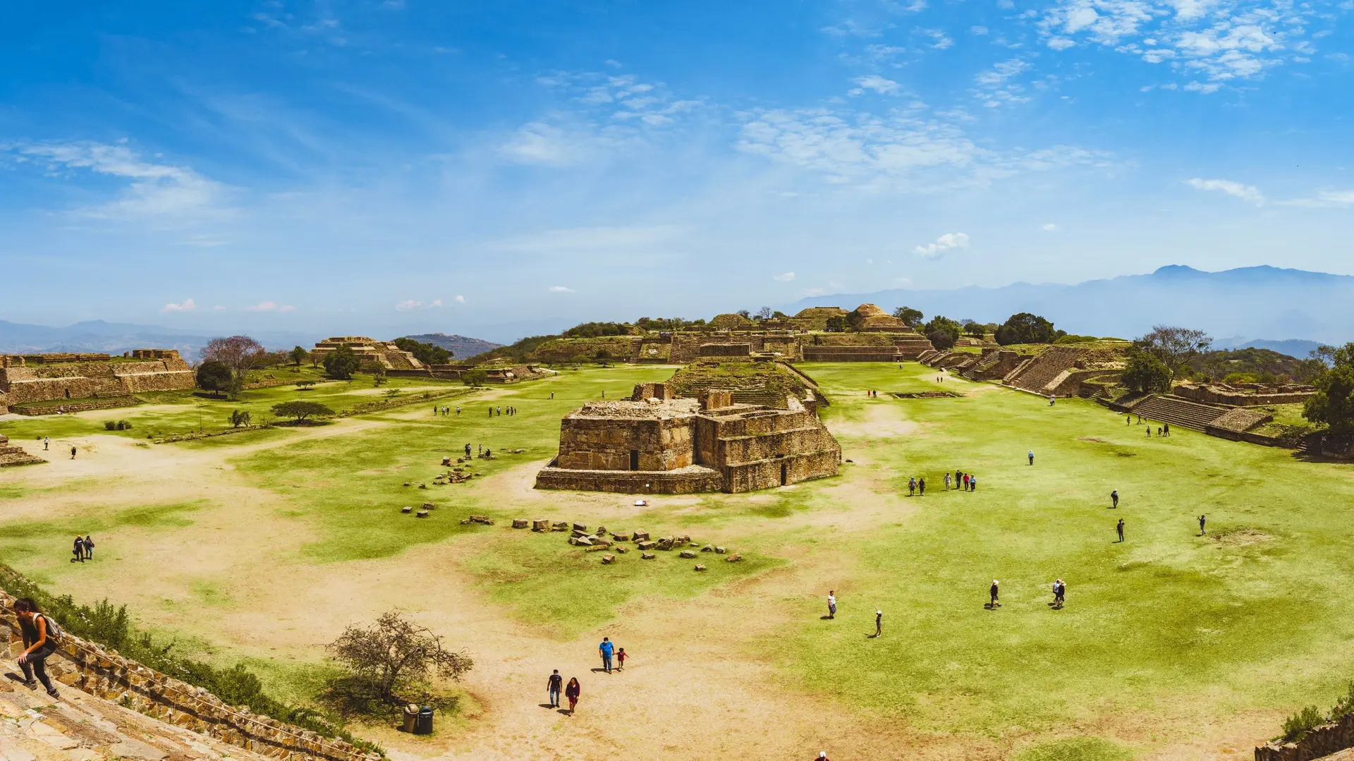
Oaxaca is Mexico's most indigenous state: 16 pre-Columbian languages are still spoken there, including Zapotec in the central valley and Mixtec in the highlands. The city of Oaxaca, at 1,550 meters, thrives to the rhythm of its markets (Benito Juárez, 20 de Noviembre), its seven moles, and artisan workshops in Teotitlán del Valle. An hour away, the Zapotec site of Monte Albán overlooks the valley at 1,940 meters. The Pacific coast (Puerto Escondido, Mazunte, Huatulco) remains untouched by mass tourism, with black sand beaches and rich marine wildlife. La Guelaguetza in July and the Day of the Dead festival in early November mark the year's highlights.
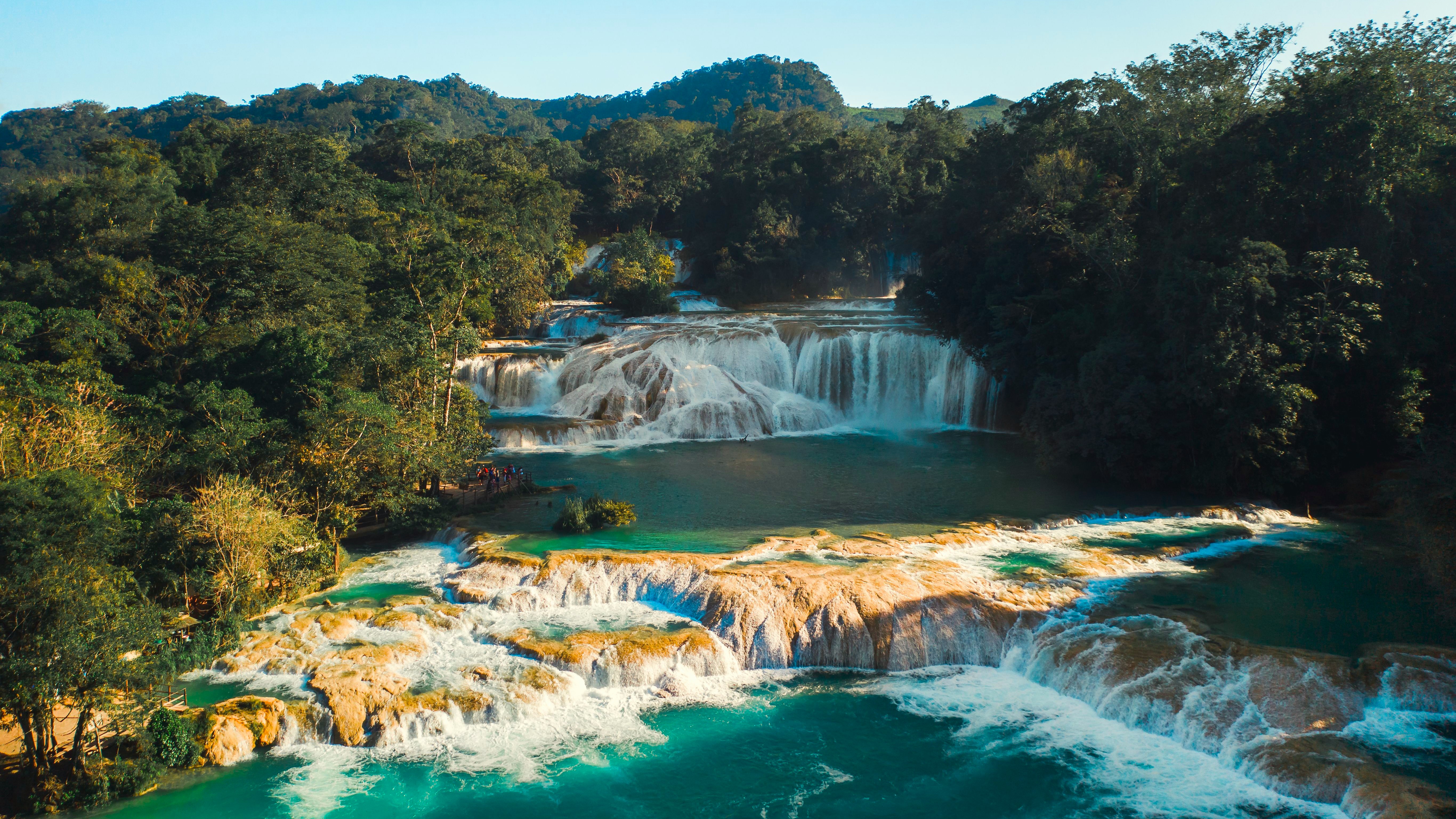
Chiapas
Chiapas, on the Guatemalan border, blends humid tropical forest with highlands at 2,100 meters. San Cristóbal de las Casas, the former colonial capital, serves as a base for visiting Tzotzil and Tzeltal communities in San Juan Chamula and Zinacantán, where Maya spirituality mingles with Catholicism. To the north, the Palenque site emerges from the jungle under crushing humidity, followed by the Agua Azul and Misol-Ha waterfalls. The Sumidero canyon, traversed by boat, reaches 1,000 meters of sheer cliff. Temperatures vary sharply with altitude: 10°C at night in San Cristóbal in January, 32°C in Palenque in May. We recommend November to April to avoid the heaviest rains.
Baja California and Northwest
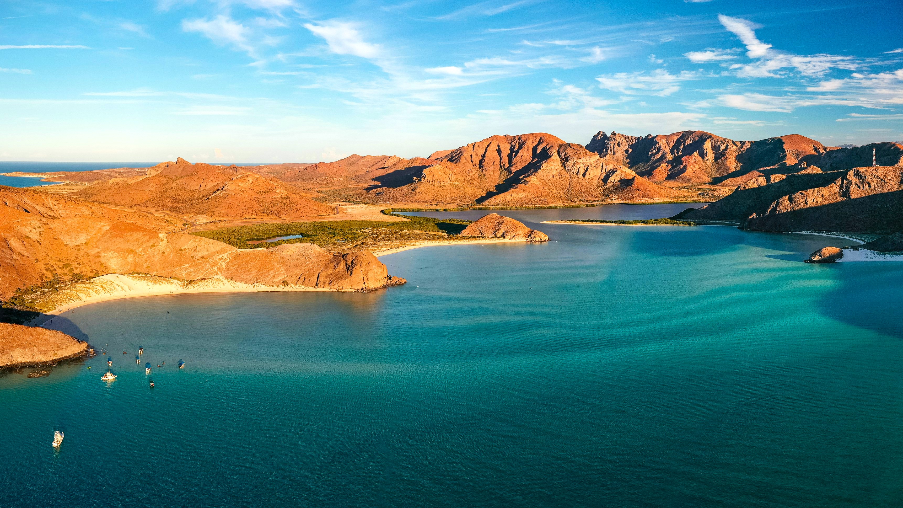
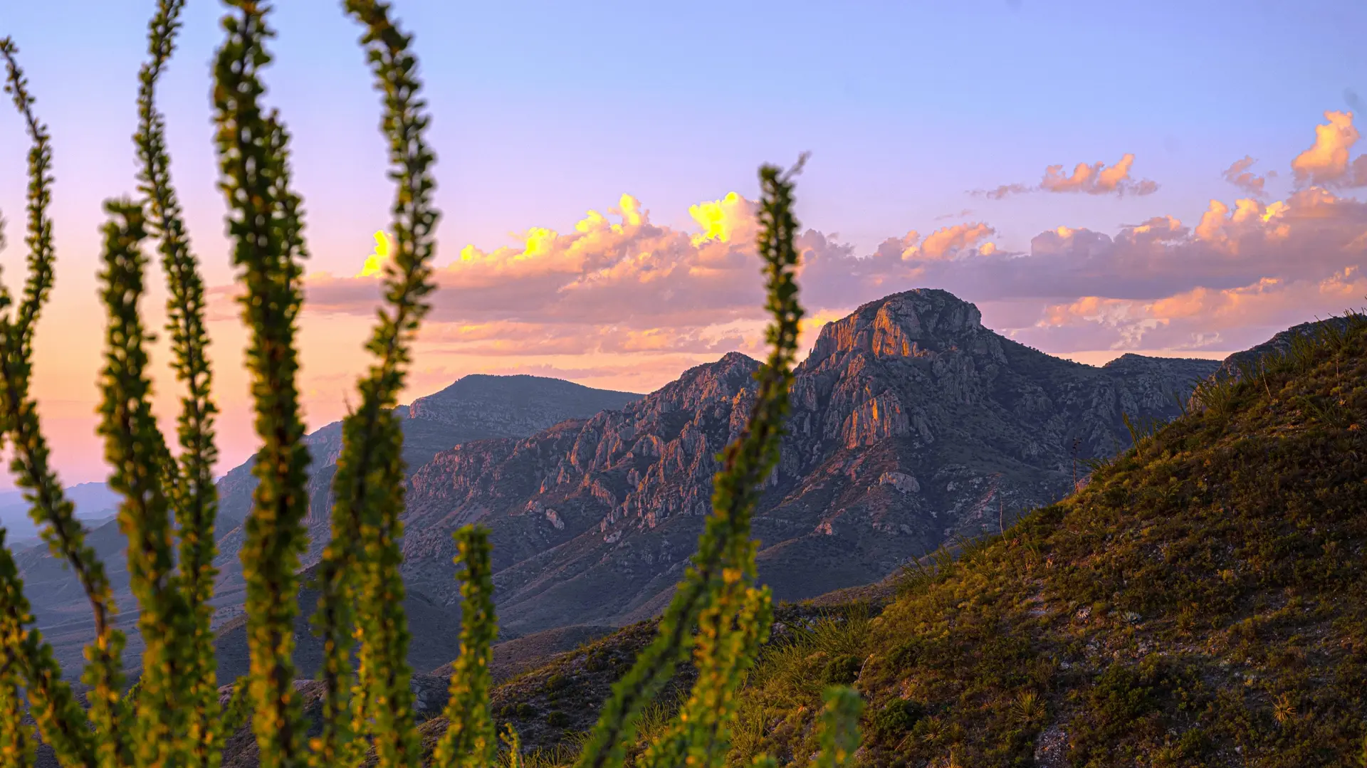
The Baja California peninsula stretches over 1,200 km between the Pacific Ocean and the Sea of Cortez, which Jacques Cousteau called the world's aquarium. From January to March, grey whales come to calve in the lagoons of San Ignacio and Ojo de Liebre, observable just meters away by panga. La Paz and Loreto offer diving with sea lions and seasonal whale sharks. In the interior, the State of Chihuahua is home to Canyon del Cobre, four times larger than the Grand Canyon, crossed by the ChePe train. Dry desert climate with extreme summer temperatures (40°C and above), ideal from October to May. A unique region, farther to reach, but perfect for complementing a second trip to Mexico.
Explore by theme
Unique experiences tailored to every traveler.
Culture & Heritage
Temples, musées, sites historiques
Nature & Landscapes
Parcs nationaux, montagnes, forêts
Sea & Beaches
Littoral, îles, sports nautiques
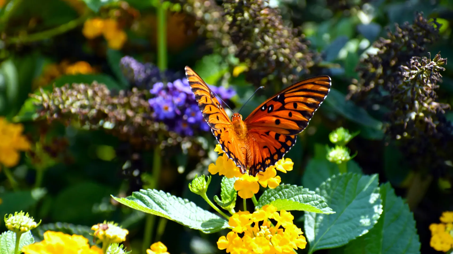
Wildlife & Biodiversity
Observation animale, sanctuaires, réserves
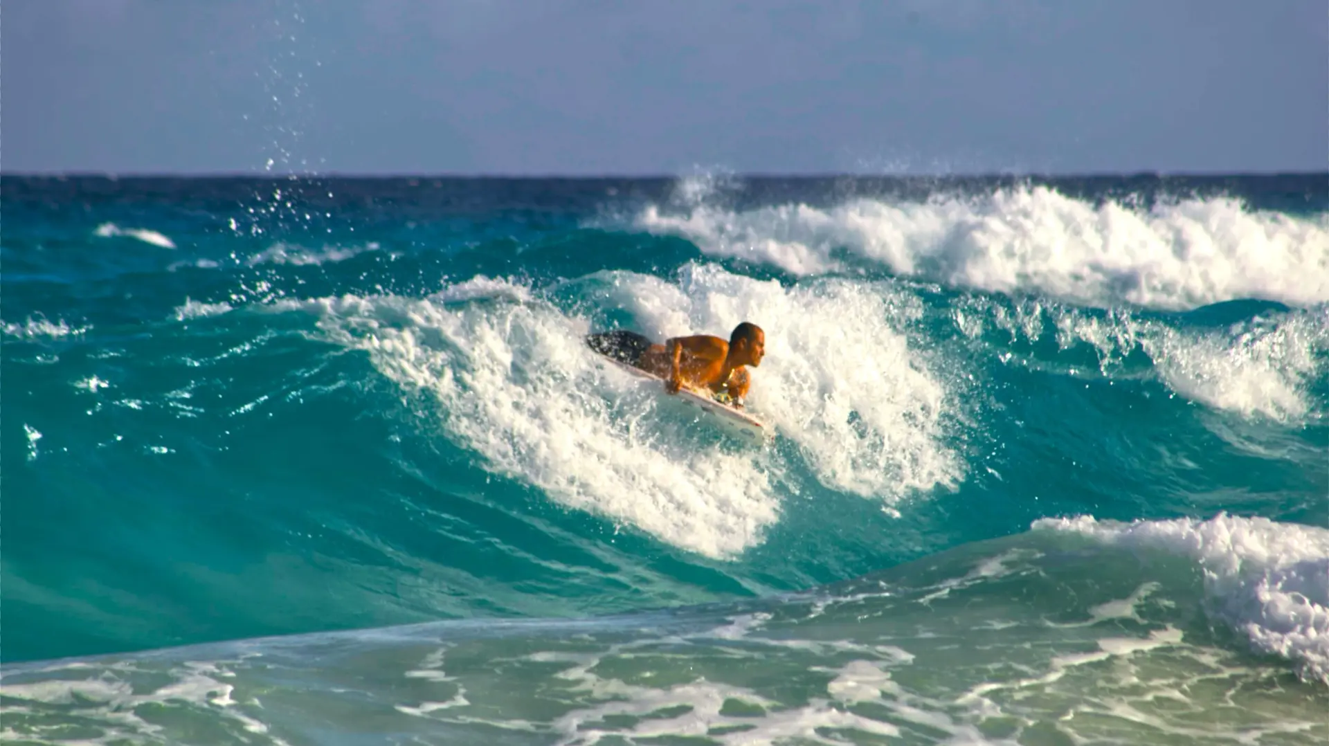
Activities & Adventure
Trek, kayak, escalade, sports outdoor
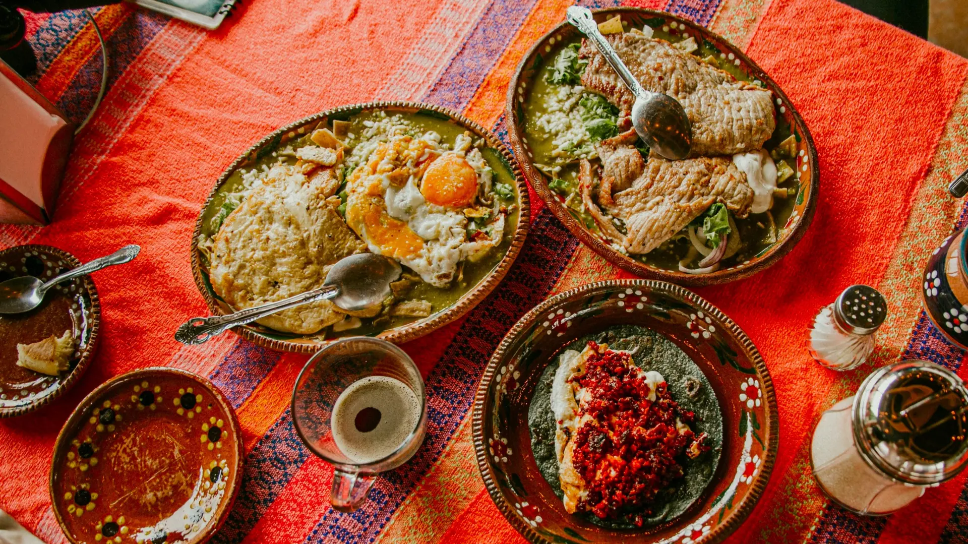
Gastronomy
Cuisine locale, marchés, cours de cuisine
We use cookies to improve your experience and measure our site's audience. You can choose what you accept. Learn more.