Laguna de Bacalar (Lagoon of Seven Colors)
Laguna de Bacalar (Lagoon of Seven Colors)
Laguna de Bacalar stretches its seven shades of blue across 60 km in southern Quintana Roo. Stromatolites, boat excursions and a colonial fort make this one of Mexico's most distinctive lacustrine destinations.
Laguna de Bacalar stretches for nearly 60 kilometers in southern Quintana Roo, just kilometers from the Belize border. Its waters shift from pale turquoise to midnight blue depending on depth and the composition of the limestone bed — hence its nickname, the "Lagoon of Seven Colors." Less crowded than the Caribbean coasts to the north, it attracts travelers seeking crystalline freshwater, a slow pace, and a remarkable lacustrine ecosystem.
Practical Information at a Glance
- Access: the lagoon borders the town of Bacalar, reachable by bus from Chetumal (approximately 1 hour) or Cancún (approximately 5–6 hours).
- Recommended duration: half a day for swimming and a stroll; two to three days to explore different zones and take a boat excursion.
- What to bring: swimwear, biodegradable sunscreen strongly recommended to protect the ecosystem.
- Important rule: conventional chemical sunscreens are discouraged or prohibited in certain areas to preserve the stromatolites.
- Accessibility: limited on natural shorelines; some hotels and beach clubs offer adapted access.
What to See
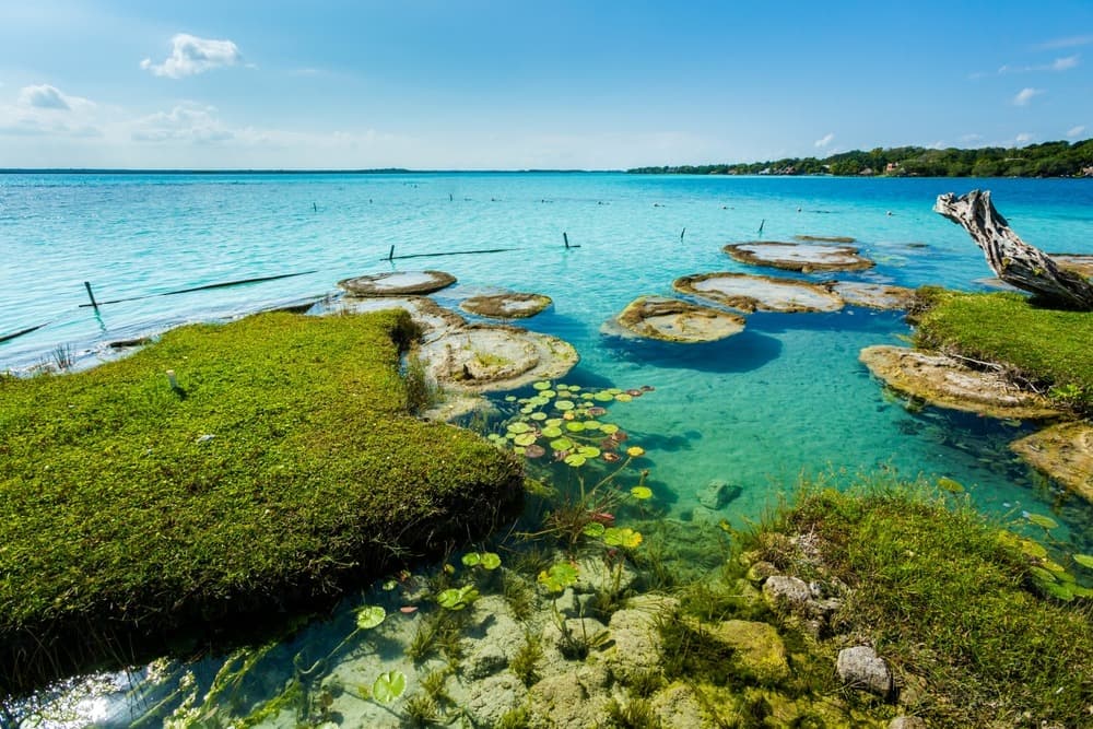
The lagoon offers a gradient of blues and greens that morning light reveals with the greatest contrast. Shallow beds near the shore turn translucent turquoise, while deeper zones plunge into dark blue, almost purple. Stromatolites — microbial structures among the oldest on the planet — colonize certain areas of the lake, visible during boat excursions.
History and Context
Bacalar is one of the oldest colonial towns in Quintana Roo. The Maya occupied the region long before the Spanish arrived in the sixteenth century. The lagoon served as a communication route and vital resource. Fort San Felipe, built in the seventeenth century on its shores, bears witness to repeated conflicts with English pirates who roamed the Caribbean coast. The town was also a Maya stronghold during the Caste War in the nineteenth century.
Highlights of Your Visit
The Boat Excursion
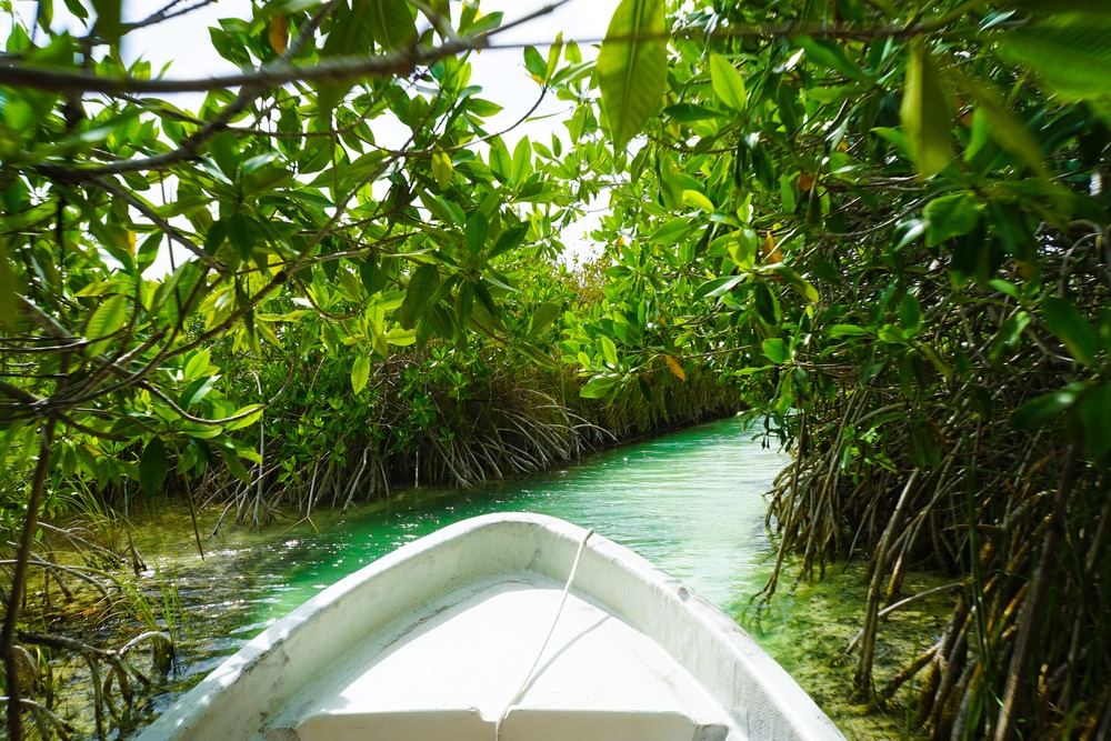
Local lanchas offer circuits on the lagoon that include several stops: the Pirate's Channel, Cenote Azul, and stromatolite zones. It is the most effective way to grasp the diversity of colors and the vastness of the water body.
Cenote Azul
Located on the lagoon's edge, this open cenote is one of Mexico's largest. Its deep blue waters contrast with the surrounding tropical vegetation. Swimming is possible, and the site has a waterfront restaurant.
Fort San Felipe
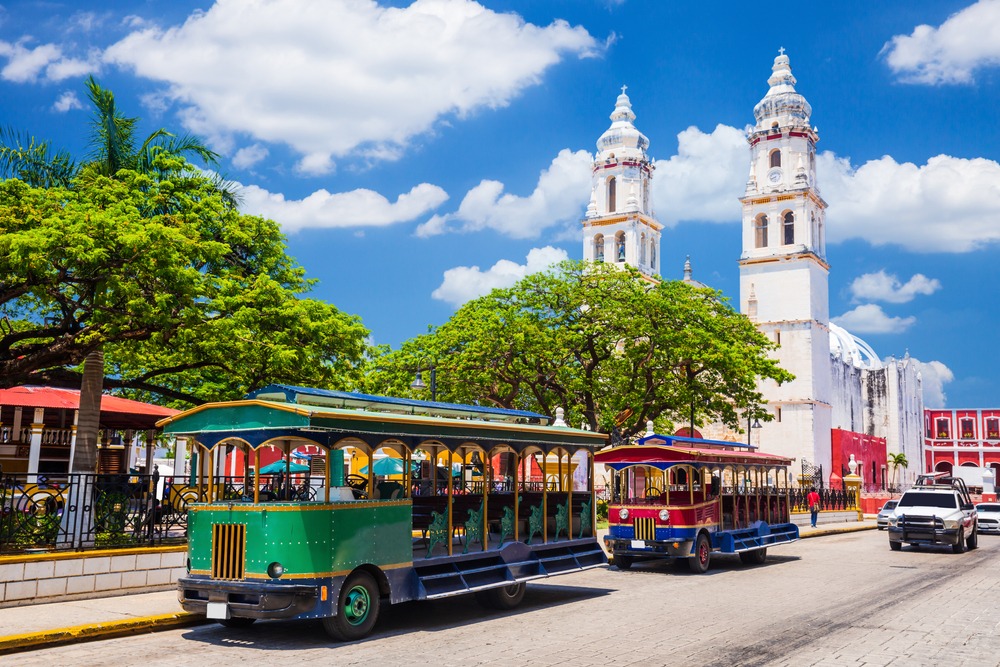
This seventeenth-century colonial fort overlooks the lagoon from central Bacalar. It now houses a small museum dedicated to the region's history, from the Maya period to the Caste War. Admission is modest. Learn more about Fort San Felipe.
The Muelle (Municipal Pier)
Bacalar's central pier is the departure point for excursions and a free swimming spot. In late afternoon, raking light transforms the water's surface into a colored mirror — a privileged moment to observe the lagoon's nuances.
Photography Tips
Morning light, between 7 and 10 a.m., offers the sharpest contrasts between different shades of blue. From a boat, a slight downward angle toward the water reveals the color gradient better than from shore. Avoid midday: overhead light flattens the nuances. Stromatolites photograph well in shallow water with lateral light.
Location and Access
Bacalar lies in southern Quintana Roo, approximately 40 km north of Chetumal, the state capital. The lagoon runs alongside the town along its entire western waterfront. ADO buses regularly connect Chetumal and Cancún to Bacalar. From Tulum, allow approximately 3 hours of driving. The town is easily walkable or accessible by bike to reach the various access points to the lagoon.
Nearby Attractions
- Chetumal — capital of Quintana Roo, approximately 40 km south, with its market and Maya culture museum.
- Cenote Azul — one of Mexico's largest open cenotes, on the lagoon's edge.
- Fort San Felipe — seventeenth-century colonial fortress in the heart of Bacalar.
- Tulum — Maya archaeological site on the Caribbean coast, approximately 3 hours north.
Frequently asked questions
The dry season, from November to April, offers the calmest waters and clearest skies. The rainy season (May–October) can slightly reduce visibility, but prices are lower and crowds thinner.
Yes, swimming is free from the municipal pier and several public access points. Some hotels and beach clubs reserve their piers for guests. Use only biodegradable sunscreen to protect the ecosystem.
Two to three nights allow you to combine a boat excursion, a visit to Fort San Felipe, a swim at Cenote Azul, and leisurely moments by the lagoon. A single day is possible as a day trip from Chetumal or Tulum.
Yes, in certain shallow areas of the lagoon, these microbial formations appear as dark rocks beneath the water. Boat excursion guides typically point out zones where they are present and explain their ecological significance.
Bacalar fits naturally into a Riviera Maya–Chetumal circuit. From Tulum, a two-night stop in Bacalar before heading to Chetumal (and possibly Belize) is a common itinerary.
No general photography restrictions. In stromatolite zones, visitors are asked not to walk on or touch them — which also applies when taking photos while snorkeling.
Interested in this visit?
We can include it in your personalised itinerary.