Oaxaca and Indigenous South
Mexico's most indigenous state: 16 pre-Columbian languages, seven moles, mezcal from Matatlán, Monte Albán ruins and Zapotec villages of the Sierra Norte.
Oaxaca is Mexico's most indigenous state. Sixteen pre-Columbian languages are still spoken daily here, from Zapotec in the central valleys to Mixtec in the Sierra Norte, passing through Mazatec, Chinantec and Trique. This cultural density shapes everything: markets, the communal organization of villages (the tequios and cargos system), crafts, cuisine. Our team based in Mexico works with local correspondents living in these communities, enabling direct access without folkloric intermediaries.
The city of Oaxaca de Juárez, at 1,550 meters altitude, serves as the pivot. Its colonial center, UNESCO-listed since 1987, sits across a few streets around the Zócalo and the Santo Domingo church. The Benito Juárez and 20 de Noviembre markets, adjoining one another, reveal the measure of local cuisine: seven varieties of mole (negro, rojo, amarillo, verde, chichilo, coloradito, manchamantel), charcoal-grilled tlayudas, chapulines (chili-dried grasshoppers), hand-pulled quesillo. An hour's drive away, the Zapotec ruins of Monte Albán crown the central valley from a flattened ridge at 1,940 meters, with its Danzantes stelae dated to the 5th century BCE.
Around the capital, the Valles Centrales gather artisan villages within a forty-kilometer radius. Teotitlán del Valle weaves wool carpets dyed with natural pigments (cochineal, indigo, rock moss). San Bartolo Coyotepec produces barro negro, black polished pottery. San Martín Tilcajete and Arrazola carve alebrijes, painted wooden figures. The artisanal mezcal distilleries of Santiago Matatlán and Santa Catarina Minas can be visited by appointment, in family palenques that still distill in copper alambics or clay ovens.
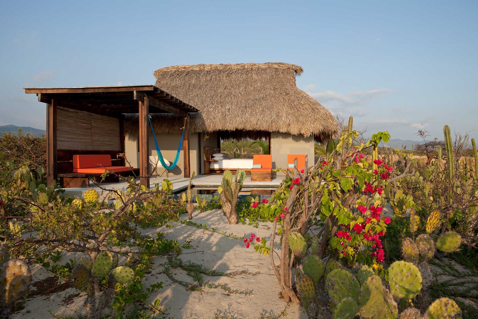
Beyond the valleys, the geography grows complex. The Sierra Norte, two and a half hours from Oaxaca, peaks above 3,200 meters in the Pueblos Mancomunados, a network of eight Zapotec villages that collectively manage their pine-oak forest and offer marked hiking trails between Cuajimoloyas, Latuvi and Benito Juárez. Further south, after six to seven hours of winding road through the Sierra Madre del Sur, lies the Pacific coast. Puerto Escondido remains frequented by surfers for Zicatela, Mazunte preserves its turtle conservation center and black sand beaches, Huatulco lines nine bays within a still-undeveloped national park. Laguna de Manialtepec hosts bioluminescence from October to March.
The ritual calendar pulses through the region. La Guelaguetza, late July, gathers the state's eight regions for two Mondays of dancing at Cerro del Fortín. Day of the Dead, October 31 to November 2, takes on a particularly dense form here: candlelit vigils in Xoxocotlán and Atzompa cemeteries, family altars open to visitors, night processions through streets. Noche de Rábanos, December 23, displays giant radish sculptures on the Zócalo. These dates strongly structure hotel availability and merit planning six months ahead.
Economically, Oaxaca remains one of Mexico's poorest states, explaining significant migration to the United States and tourism that truly weighs on village economies. Working with cooperatives, paying fair prices for crafts, sleeping in community lodgings in Sierra Norte: this shapes how our local agency builds itineraries.
To Discover
Monte Albán and the Zapotec valley. Zapotec capital founded around 500 BCE on a ridge leveled to 1,940 meters. The Danzantes stelae, the Ball Court and the arrow-point-shaped observatory are visited in two hours, ideally late afternoon when light rakes across the valley.
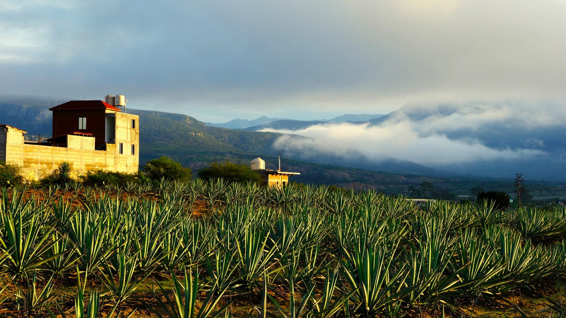
Artisanal mezcal in Matatlán. Tour family palenques that cook agave piñas in buried stone ovens, then distill in copper alambics. Comparative tasting of espadín, tobalá and tepextate with a fourth-generation producer.
Hiking in the Pueblos Mancomunados. Two to four days walking between Zapotec villages of the Sierra Norte, at altitudes of 2,600 to 3,200 meters, through commonly managed pine-oak forest. Nights in village cabins, meals with local families.
Day of the Dead in Oaxaca. October 31 to November 2, candle-lit vigils in Xoxocotlán and San Antonino cemeteries, masked processions through streets, private altars opened to the public. A living reading of Mexico's relationship with death, far from Mexico City recreations.
Mazunte and Ventanilla coast. Black sand beaches bordered by dry forest, marine turtle conservation center, boat outings into La Ventanilla mangrove to observe crocodiles, iguanas and herons. Bioluminescence at Manialtepec from October to March.
When to Go
The best time to visit the region spans October to May, in the dry season. In the Oaxaca valley (1,550 m), days hover around 25 to 28°C with cool nights at 8–12°C between December and February. On the Pacific coast (Puerto Escondido, Mazunte, Huatulco), temperature remains stable at 28–32°C year-round, with higher humidity in September–October. The rainy season, June to September, brings heavy showers late afternoon, often brief in the valley but more persistent in the Sierra Norte where hiking trails can become slippery. Roads to the coast remain passable but landslides are frequent in August–September.
Two moments concentrate crowds and justify very early booking: the last week of July for la Guelaguetza, and October 28 to November 3 for Day of the Dead. On these dates, Oaxaca accommodation prices double and domestic flights from Mexico fill three to four months ahead. For those seeking mildness without crowds, February–March in the valley and November on the coast offer good compromise.
Practical Advice
For Oaxaca alone, plan a minimum of six full days: three to four nights in Oaxaca city with day trips to the Valles Centrales (Monte Albán, Mitla, Hierve el Agua, artisan villages), then two to three nights on the Pacific coast or Sierra Norte depending on your preference. Ten days allows combining all three. The logistics entry point is Oaxaca international airport (OAX), connected to Mexico in one hour's flight. The coast is reached by forty-minute domestic flight to Puerto Escondido or Huatulco, or seven hours by road via Pochutla (not recommended in rainy season, except by overnight ADO GL bus).
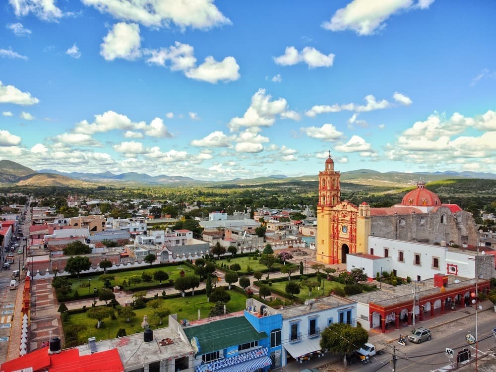
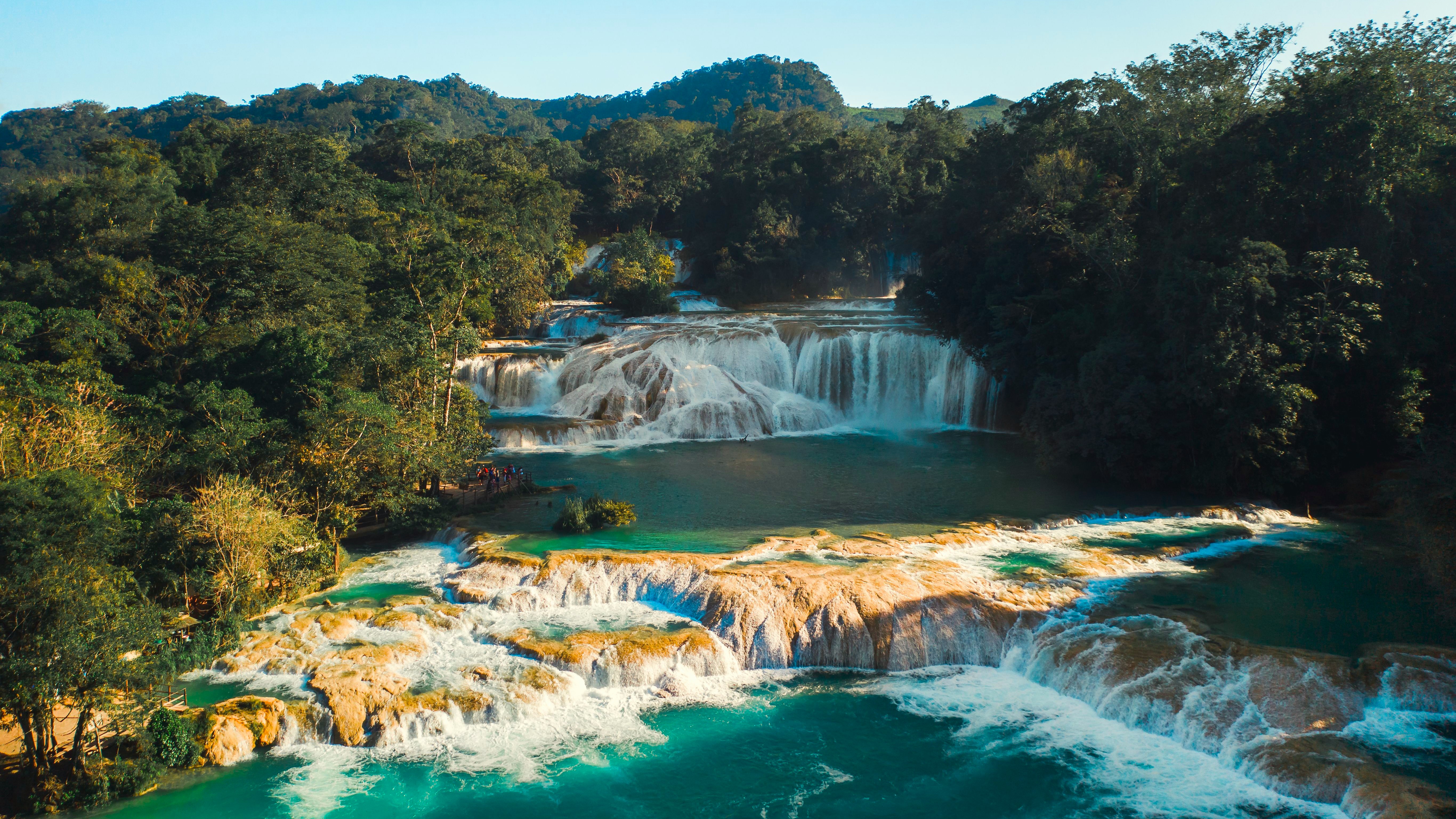
The region chains naturally with Chiapas via an Oaxaca–Tuxtla Gutiérrez flight (1h15), to extend the indigenous and mountainous dimension of your trip. Combination with the Colonial Center (Puebla, Mexico) works very well at the start or end of a circuit. The jump to the Yucatán and Caribbean shifts register entirely and requires a flight via Mexico City. Comfort levels are satisfactory in Oaxaca city (boutique hotels in colonial courtyards) and on the coast (from eco-lodge to bay hotel), more rustic in Sierra Norte (clean but simple community cabins, sometimes shared facilities). This is a region suited to travelers curious about living culture, gastronomes, families with children from age eight, and Sierra hikers. Less suited to those seeking integrated premium beachside.